
Please wait..
Please wait..

28 Aug 2026 Blogs
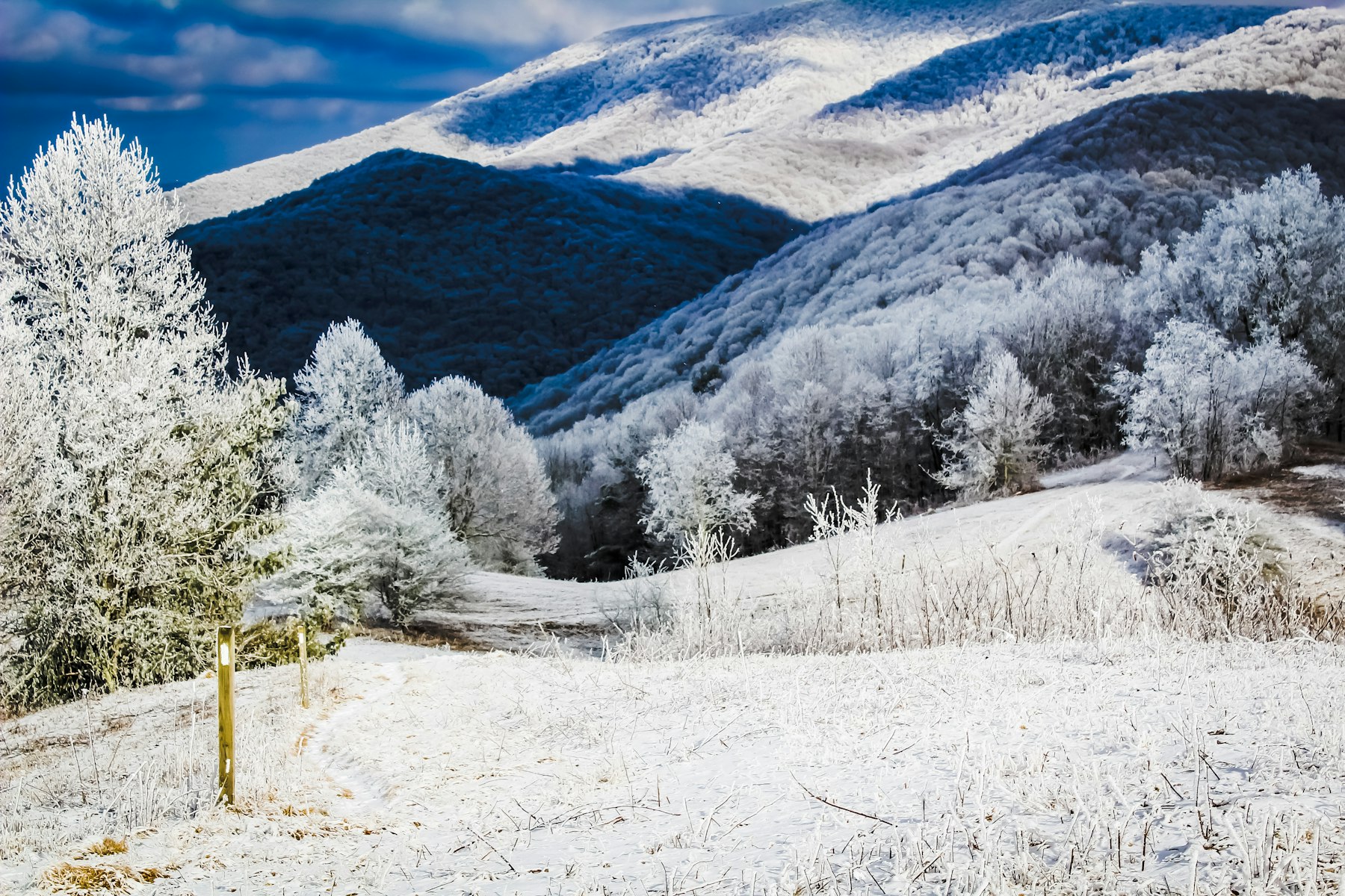
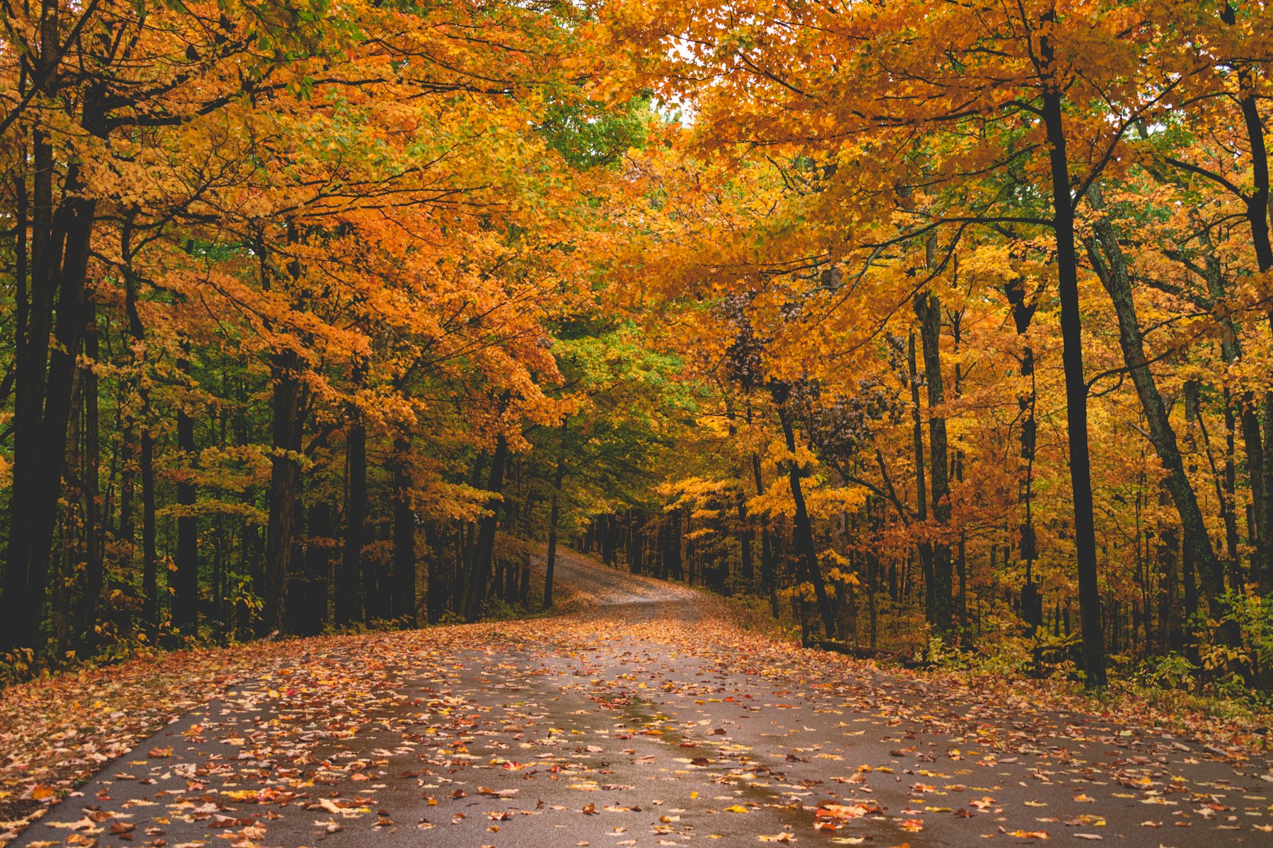
Asheville's mountains run from about 2,000 feet in the valleys to more than 6,000 feet on the high peaks. Color starts at the top and works its way down, so leaf season here lasts weeks instead of days.
The trick is matching your drive to the elevation that is peaking that week. Here is how timing works, four drives we send friends on, and where to stop along the way.
In a typical year it goes roughly like this:
A warm, dry September can push peak back by about a week. The rule is simple: if the high country looks bare, drive lower.
The Blue Ridge Parkway is the classic leaf drive, and most of it around Asheville is open after Helene repairs. Right now the Parkway is open from Mount Mitchell State Park south through Asheville, past Mount Pisgah and Graveyard Fields, and on toward Cherokee. North of Mount Mitchell, the road is still closed for repairs.
Expect short daytime single-lane traffic control between Hendersonville Road and Brevard Road, just south of town. Conditions change, so check the NPS road status page the morning you drive.
Best for: early to mid-October, high-elevation color and big views.
Get on the Parkway near the Folk Art Center on the east side of town and head north. The road climbs steadily, and the views open up across layer after layer of ridges.
Since the Parkway is closed beyond Mount Mitchell, this is an out-and-back. There is no gas between Asheville and the park, so fill up before you go.
Best for: early to mid-October, and the most color per mile.
Take the Parkway south from the Hendersonville Road or Brevard Road entrance. You cross the French Broad River, then climb toward Mount Pisgah through a string of tunnels and overlooks.
Bring a warm layer. It is often much colder and windier up here than in town.
Best for: mid to late October, when the high country is fading.
From the Parkway near Mount Pisgah, turn onto US 276 and wind downhill through Pisgah National Forest toward Brevard. You drop thousands of feet, so you pass through several stages of fall in one drive.
Combine Drives 2 and 3 into a loop: Parkway south from Asheville, US 276 down to Brevard, then back to town on US 280.
Best for: late October into early November.
When the high peaks are bare, the lower hills southeast of Asheville often still have color. Chimney Rock State Park is open daily, and the elevator to the top is running. The park recommends reservations on October and early November weekends. Road work continues in Hickory Nut Gorge, so check the park's website for the best route.
Our 2-Home Estate in Biltmore Forest is 2 miles from the Parkway, with room for 24, two hot tubs and two saunas, a good fit for a family fall reunion. For a smaller group, Ridgetop A-Frame has a stone fireplace for cool October nights.
Book direct and save up to 15%. See our Asheville homes or call Sean at 772-485-2353.
Photo by Karthik Sreenivas on Unsplash.